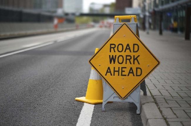
Municipal 511 will provide motorists with the latest information including closures, construction, and other traffic disruptions in a more dynamic, accurate and user-friendly format.
Commuters in Kingston will have a new tool to help them navigate through traffic in the city.
The City announced that they are joining other municipalities in Municipal 511, a road map information system that centralizes traffic disruption notices.
Starting Feb. 9, motorists can obtain the latest road information including closures, construction, and other traffic disruptions from the Municipal 511 website. It will replace the existing map on the City's road closure page.
The new map is expected to provide a more dynamic, accurate and user-friendly format with information showing the duration of the project or disruption. It will also include a brief description of the affected area.
In a news release, they say the enhanced approach will improve how information is shared not only for drivers but also for people walking, cycling and taking transit. They go on to say by centralizing information in one location, it supports safer travel, more informed trip planning and reduced uncertainty across the transportation network.
The Municipal 511 road information management service is used by numerous municipal and regional governments across the province. The system integrates with third-party mapping applications and geographic information systems, ensuring smoother navigation for drivers and emergency services.
Story by Ken Hashizume
 Ferry shuffle planned as Kingston dock construction continues
 Thinking of planting a tree in Kingston? Here’s what you need to know before you dig
 Gaels men's hockey team one win away from Queen's Cup appearance
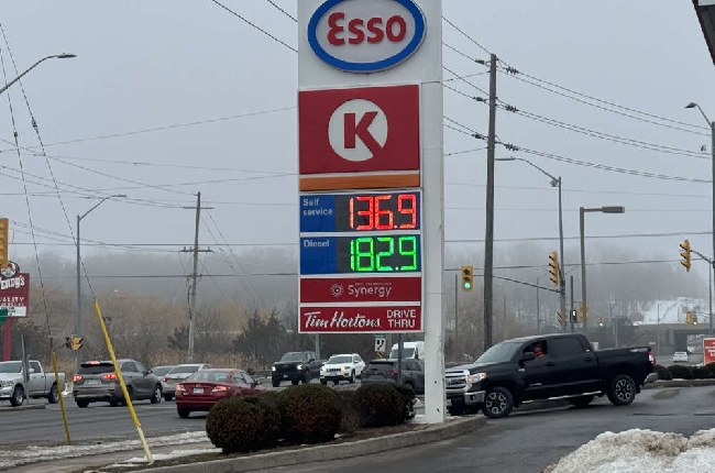 Motorists see spike in prices at the pumps in Kingston and across Canada
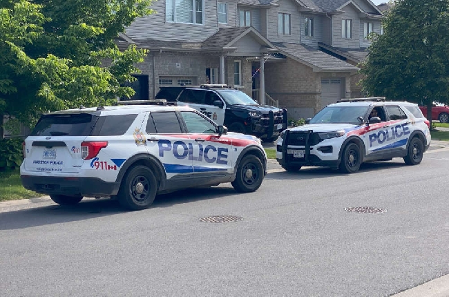 Kingston Police monitoring Middle East conflict, adding more officers