Officials say mild temperatures may accelerate snowmelt and increase runoff into lakes and streams.
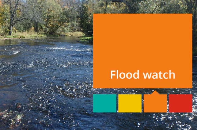
Cataraqui Conservation is advising residents of the potential for elevated water levels and localized flooding in the coming days, as warmer temperatures and rainfall combine with a high snowpack across the watershed. A multi-day period of above-zero temperatures is expected to begin Friday, March 6, with daytime highs possibly exceeding 10°C, accelerating snowmelt and increasing runoff into lakes and streams.
Rainfall of 2–11 mm is forecast for March 5–6, with an additional 4–38 mm expected on Saturday, March 7, and further precipitation possible early next week. While widespread flooding is not anticipated, higher-than-normal water levels may cause inundation of low-lying areas, localized roadway flooding, and ice jam risks in historically vulnerable locations.
Residents are urged to exercise caution near all watercourses, dams, and ice-covered lakes, as melting and moving ice can create hazards. Cataraqui Conservation staff will continue to monitor conditions and update the public. The statement remains in effect until Wednesday, March 18, 2026.
For more information, visit the Cataraqui Conservation website.
Story by Tim Baltz
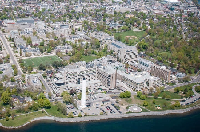 KHSC warns in-patient services nearing capacity
 Police service dog credited with the apprehension of break and enter suspect
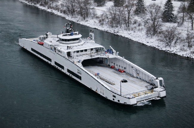 Ferry shuffle planned as Kingston dock construction continues
 Thinking of planting a tree in Kingston? Here’s what you need to know before you dig
 Gaels men's hockey team one win away from Queen's Cup appearance